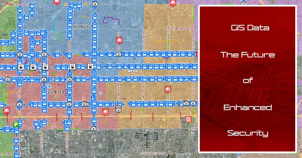
In the fast-evolving landscape of global security, leveraging Geographical Information Systems (GIS) for enhanced physical security is not just an option; it’s a necessity. ‘GIS Data Integration for Security’ stands as a testament to technological advancement, offering a revolutionary approach to understanding, analyzing, and responding to security threats with unparalleled precision. This article navigates through the integration of GIS within security frameworks, emphasizing its critical role in safeguarding assets and individuals against the backdrop of modern challenges.
The Strategic Edge of GIS in Security
GIS technology transcends conventional security planning methods by providing dynamic, spatial insights that allow for a more nuanced understanding of potential threats. It equips security professionals with the tools to visualize risk, anticipate challenges, and deploy resources more effectively, ensuring a proactive rather than reactive security posture.
Unlocking GIS Potential in Security Operations
At the heart of GIS data integration for security is the capacity to compile and interpret vast amounts of geographical data. This capability is crucial for:
- Risk Assessment: Identifying and evaluating vulnerabilities within physical landscapes to inform security strategies.
- Resource Allocation: Optimizing the deployment of security forces and resources based on real-time spatial analysis.
- Emergency Response: Enhancing the efficiency of response strategies to natural disasters, terror attacks, and other emergencies through precise geographical intelligence.
GIS Data Integration for Security: A Closer Look
The utilization of GIS in the domain of security is multifaceted, encompassing everything from urban planning and infrastructure protection to disaster response and pandemic management. For example, during the COVID-19 pandemic, GIS technology proved indispensable in mapping infection rates, facilitating effective containment strategies, and managing public health resources.
Implementing GIS Data Integration for Enhanced Security
Embracing GIS for security involves several key steps:
- Data Collection and Management: Gathering accurate, up-to-date geographical data is foundational to effective GIS integration.
- Advanced Analysis: Employing GIS tools to conduct thorough spatial analyses, predict threat patterns, and simulate potential security breaches.
- Collaboration and Sharing: Fostering partnerships among security agencies, government entities, and international organizations to share GIS data and insights.
- Community Involvement: Engaging the public in security initiatives through GIS-based platforms enhances situational awareness and collective safety.
The Future Is Secure with GIS Integration
As we confront increasingly complex security challenges, the integration of GIS data into security strategies offers a beacon of innovation and resilience. It represents a forward-thinking approach to security, where data-driven decisions lead to more effective, adaptable, and robust protection measures.
Elevate Your Security with Grab The Axe
Grab The Axe stands at the forefront of integrating GIS technology into comprehensive security solutions. Our expertise not only lies in the technical aspects of GIS but also in understanding its practical application in enhancing physical security across various sectors.
Join Us in Shaping a Safer Future
Partner with Grab The Axe to harness the full potential of GIS Data Integration for Security. Discover how our cutting-edge strategies can transform your security posture, protect your assets, and ensure peace of mind in an uncertain world.
Subscribe to our insights, follow us on social media, and take the first step towards a future where security is not just a response but a well-informed, strategic anticipation of threats.
Contact Grab The Axe today and unlock the power of GIS for a security strategy that’s not just effective but revolutionary.
References:
- Esri. (No Date). Physical Security: Optimizing physical security through spatial intelligence. Retrieved from https://www.esri.com/en-us/industries/security-operations/strategies/physical-security
- University of Southern California. (2021, June 21). GIS and Cybersecurity. Retrieved from https://gis.usc.edu/blog/gis-and-cybersecurity/
GIS Data Integration for Security – To Learn More:
GIS Disaster Preparedness: Leveraging GIS for Disaster Preparedness Across Ages
Traffic Safety Across Ages: Key Strategies for Safer Roads
Cybersecurity GIS Mapping: Elevating Public Safety in the Digital Realm


This Post Has 6 Comments
Pingback: GIS Disaster Preparedness: Leveraging GIS for Disaster Preparedness Across Ages - Grab The Axe
Pingback: Traffic Safety Across Ages: Key Strategies for Safer Roads - Grab The Axe
Pingback: SS4A Grants for Public Safety: Revolutionizing Public Safety - Grab The Axe
Pingback: GIS for Public Safety: Elevating SS4A Grant Initiatives to New Heights - Grab The Axe
Pingback: The Future of Security: Integrating AI and GIS in Security for Comprehensive Protection - Grab The Axe
Pingback: Cybersecurity GIS Mapping: Elevating Public Safety in the Digital Realm - Grab The Axe
Comments are closed.